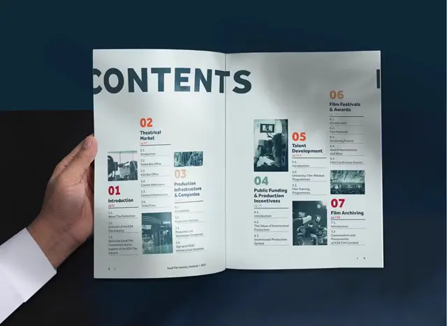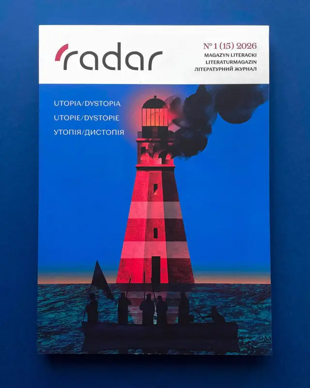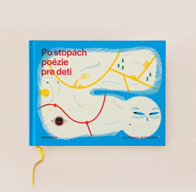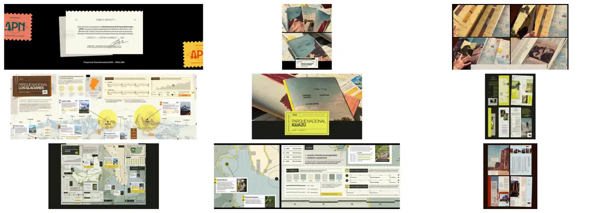
Build a shared editorial vocabulary from perforated cards, numbered labels, fine rules, stamps, and compact technical annotations, then vary accent colors by subject. Pair expansive maps with small photographic callouts and separate route, terrain, and elevation diagrams so the information remains layered but navigable. Alternate dense reference panels with large landscape images and spacious serif-led spreads. For a new subject, replace the geography, photographs, symbols, and measurements with relevant content rather than retaining decorative park data.
No creator prompt published. Reference wrote this brief. Copy for agent includes the brief, visual reference links, and setup guidance.
Cartographic national park guides
A family of park publications combining landscape covers, fold-out visitor maps, route and terrain diagrams, and richly layered editorial spreads for mountain, waterfall, and desert landscapes.
Source and credit
Website · Sep 17, 2026 · 1.3k views · 75 comments
Authorship not stated by the source
Look notesby Reference
A polished cartographic guide system for Argentine national parks, combining editorial design with wayfinding and informational graphics.
- Color
- Charcoal and deep green with pale sage, cream, bright lime yellow, muted blue, and occasional coral accents.
- Type
- Clean, mostly sans-serif typography with prominent uppercase park names and smaller, information-dense labels.
- Framing
- Structured editorial pages pair maps and diagrams with text panels, photographs, icons, and clearly separated information blocks.
- Structure
- The artifact sequence presents project identity and covers, followed by guide spreads and supporting cartographic, informational, and interface-style components.