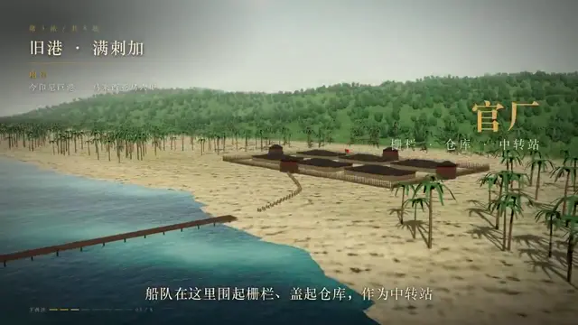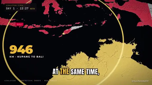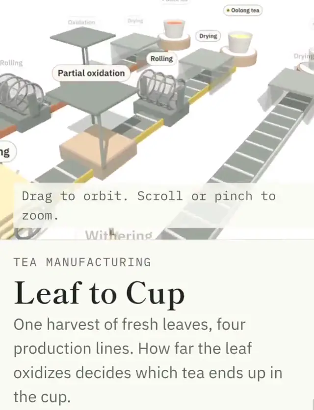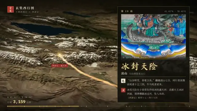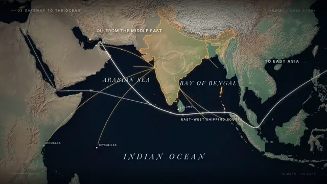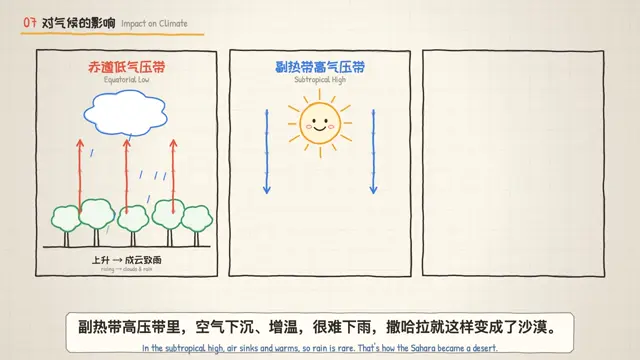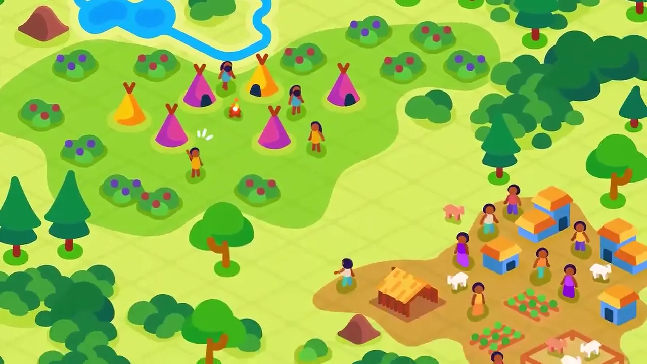
Adapt the diagram-to-map-to-environment approach to another historical subject, such as maritime trade. Use circular callouts to identify physical evidence, a tightly limited symbol set to chart regional connections, and a layered settlement illustration to show the human context. Keep banner labels and a shared palette consistent across these scales.
No creator prompt published. Reference wrote this brief. Copy for agent includes the brief, visual reference links, and setup guidance.
Ancient settlements and farming maps
An illustrated human-history explainer pairs archaeological callouts and farming maps with warm-colored ancient settlements, using simplified figures, geographic symbols and layered landscapes to make abstract evidence concrete.
How it was made
Reference shows a muted excerpt from 8:00 to 9:30. Watch the complete video at the original source.
Tools not stated by the source.
Source and credit
YouTube · Oct 8, 2026 · 148k likes · 9M views · 7.6k comments
Authorship not stated by the source
Look notesby Reference
A playful flat-vector depiction of archaeological finds and early human communities, from pottery and skeletal remains to village life and fire.
- Color
- Bright orange, teal, green, purple, and cream, contrasted with deep burgundy and navy backgrounds.
- Type
- Clean, geometric cartoon illustrations with bold outlines and simplified figures and objects.
- Framing
- Distinct illustrative scenes and large icon-like images, with small human figures set against landscapes and settlements.
- Structure
- A visual progression from artifacts and fossils to people, communities, and a landscape shown in daylight and firelit scenes.