Can you make a high end video (mp4) produced for my Year 10s about the uploaded material. They need to know about the location and physical geography of India, as well as some historical context. I want it to be professional, informative, and engaging, flaunt how good your production value is. Imagine it to be almost like a promo video with audio and appropriate music
Make it yours. Change "my Year 10s" and "the location and physical geography of India, as well as some historical context" to your own class and unit, and upload your own slides. "Imagine it to be almost like a promo video with audio and appropriate music" sets the tone.
GCSE geography video on India for Year 10
A 6-minute promo-style explainer for UK Year 10 geography students on India's location, landscape, and history, with a 3D globe and relief maps. A teacher made it in regular Claude chat with Opus 5.5 from two PowerPoints, the GCSE spec, and one prompt.
“I just thought it interesting that Claude now offers it all in house”
- Claude.ai
- Claude Opus 5.5
- One-shot
- 30m
You'll need
- Your own teaching material to upload (the creator used two PowerPoints and the exam specification)
How it was made
The creator uploaded two PowerPoint decks and the GCSE specification along with the prompt, in the regular Claude chat. They don't describe how Claude rendered the MP4. Commenters pointed out factual issues, and the creator said they would fold the fixes in, so check the content before using it in class.
Posted Sep 28, 2026 · r/ClaudeAI on Reddit · 50 upvotes · 28 comments
Prompt from: Comment on the post
Look notesby Reference
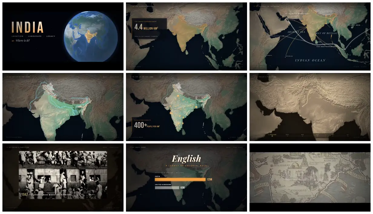
A dark, documentary-style geography lesson: India lit up on a 3D globe, shaded-relief maps of the subcontinent with stat cards, sea routes, the Ganges plain and population dots, a history timeline, an archive photo from 1947, a bar chart of English speakers, and an old illustrated map.
- Color
- Near-black grounds, sandy beige and sage-green shaded relief, deep navy seas, gold-orange highlights for India, data dots, and bars, white and pale-blue route and river lines, and a sepia archive photo.
- Type
- Wide-spaced gold sans-serif titles ("INDIA") with an italic serif for questions and place names ("Where is it?", "Arabian Sea", "Indian Ocean"), small spaced chapter heads at top left ("02 THE SUBCONTINENT", "04 THE LIE OF THE LAND", "06 EMPIRE & PARTITION"), and stat cards with large figures ("4.4 MILLION KM²", "400+ PEOPLE PER KM²").
- Framing
- 16:9 with India near the center of a top-down relief map, translucent stat cards at left, the chapter head at top left, coordinates at bottom right, and a timeline strip along the bottom in the history section. The opening sets the title left and the globe right.
- Structure
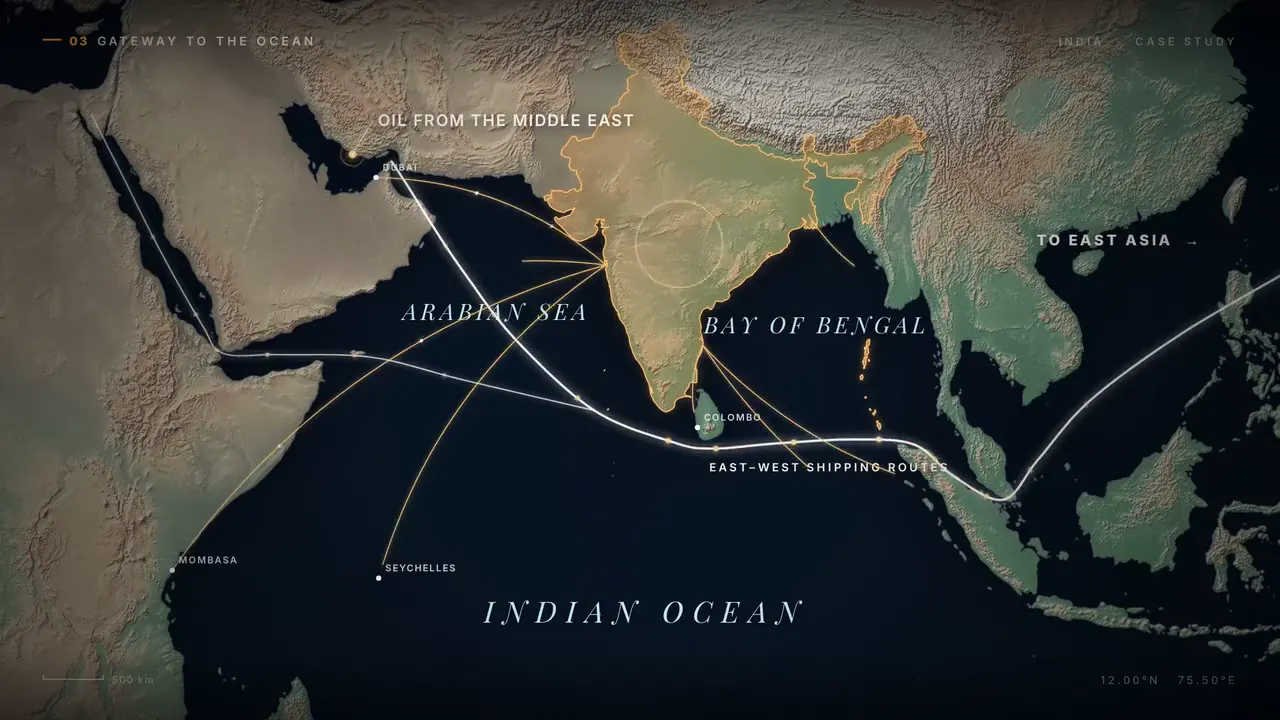
- "INDIA, LOCATION · LANDSCAPE · LEGACY, 01 Where is it?" beside the globe, "4.4 MILLION KM²" over the subcontinent, routes across the Arabian Sea and the Bay of Bengal to the Middle East and East Asia, the Ganges plain with its rivers traced, population dots with "400+ people per km²", a bare relief map over a timeline of c.2500 BCE, 1600s, 1858, 1947, 1962, and 1971, an archive photo of a crowded train captioned "1947 THE LARGEST MASS MIGRATION IN HISTORY", "English, a legacy of colonial rule" with bars for India (125M) and the United Kingdom (60M), and an old illustrated map of Indian cities.