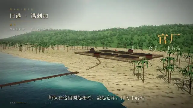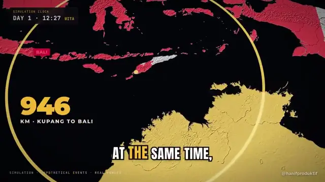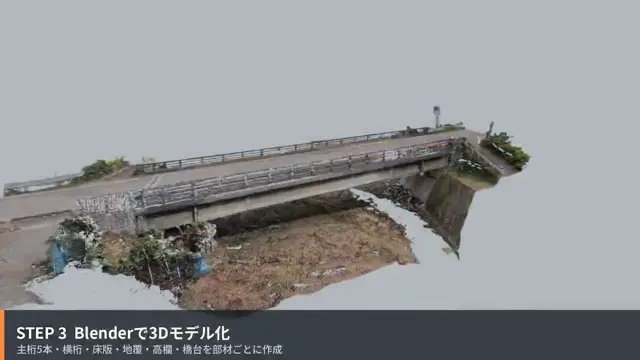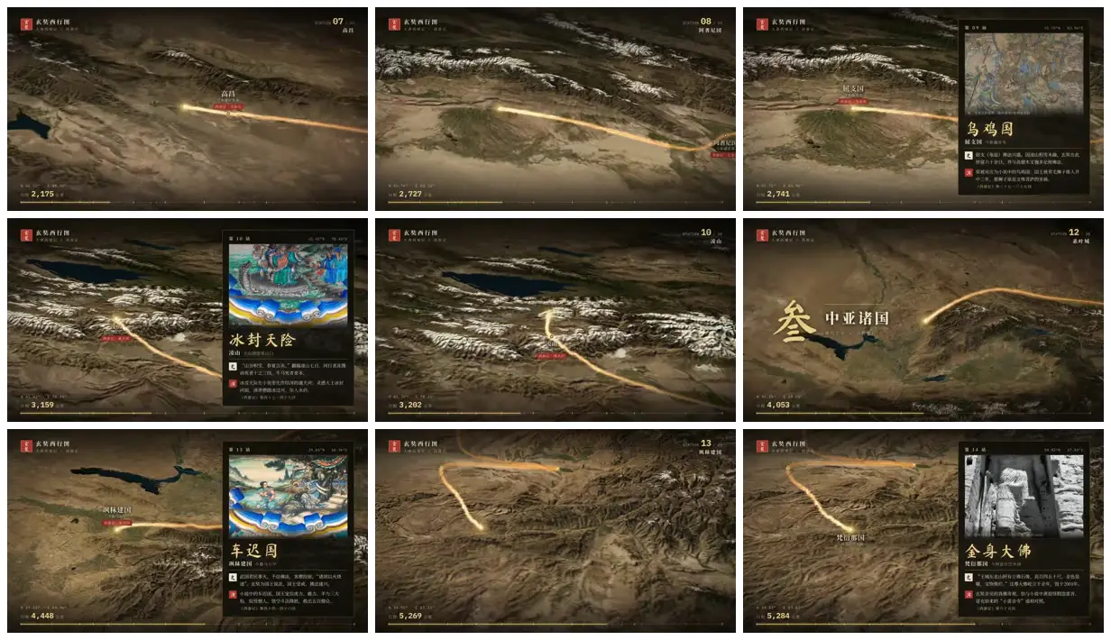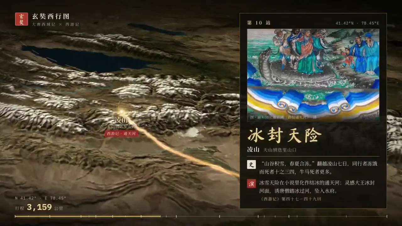
Adapt this approach to a migration, expedition or trade route using textured relief geography and a single gold path. Pair selected stops with narrow archival-image cards, keeping headings expressive and supporting text restrained. End with a landmark image and a concise account of the journey’s consequences.
No creator prompt published. Reference wrote this brief. Copy for agent includes the brief, visual reference links, and setup guidance.
Xuanzang’s route across relief maps
Xuanzang’s westward journey is presented through richly textured relief maps, golden route lines, labeled stops and historical image cards, concluding with a pagoda and a text-based epilogue.
How it was made
Reference shows a muted excerpt from 1:25 to 2:55. Watch the complete video at the original source.
Opus 5.5 · three.js · GSAP · HyperFrames
Source and credit
X · Sep 26, 2026 · 808 likes · 90k views · 44 comments
Made with AI, according to the source
Look notesby Reference
A cinematic, earth-toned relief map of Chinese landscapes, with rivers, ridges, and place names rendered as an illustrated historical atlas.
- Color
- Muted olive, brown, and charcoal terrain, with pale river and ridge details and a warm gold route line.
- Type
- Chinese labels combine restrained traditional-looking characters with clean, modern supporting text.
- Framing
- Wide map views center the terrain and glowing route; some frames add prominent Chinese title text over the landscape.
- Structure
- The visible artwork alternates between detailed regional map scenes and sparse title treatments, keeping the route and landforms as recurring visual elements.