What if.... Australia invaded Bali and tried to take control?

An hour-by-hour Indonesia vs Australia war simulation.
Recreation challengeMake your own version and share the prompt.
Bali invasion scenario maps
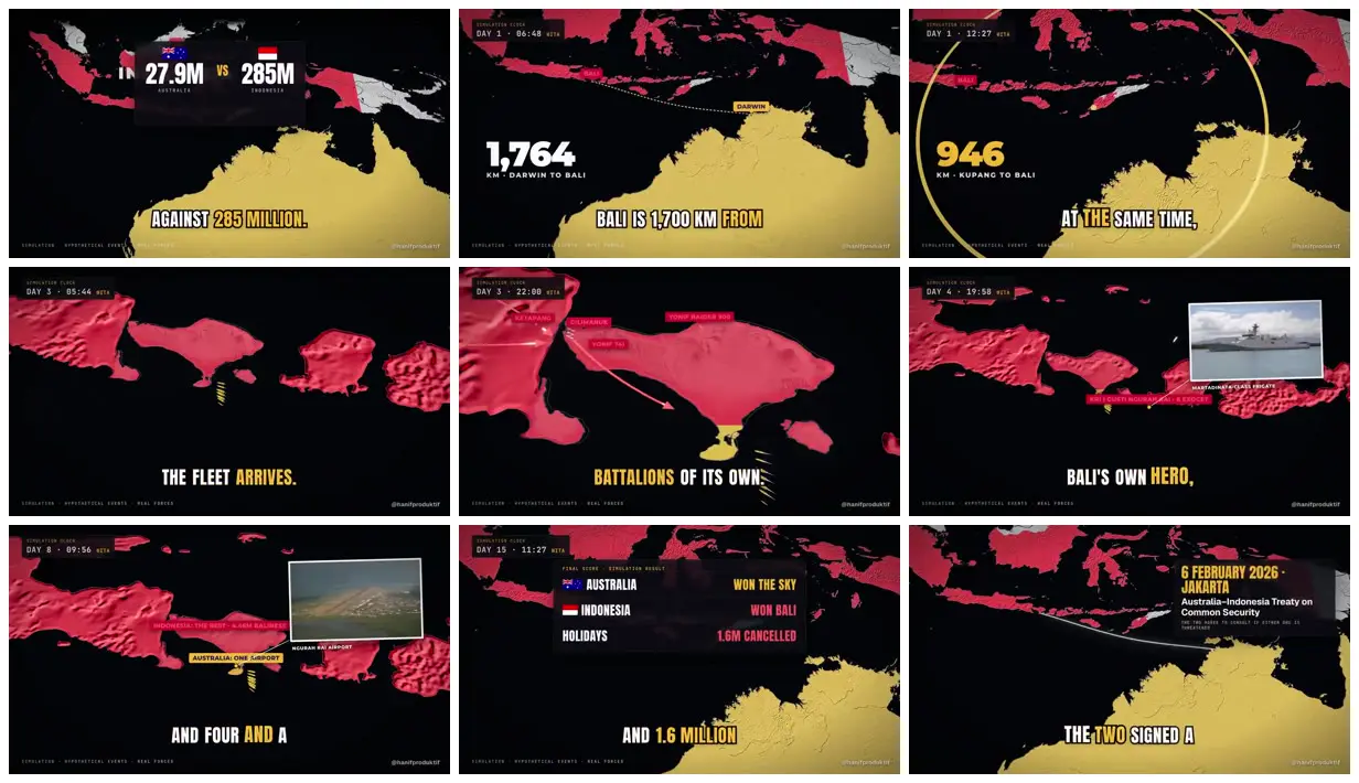
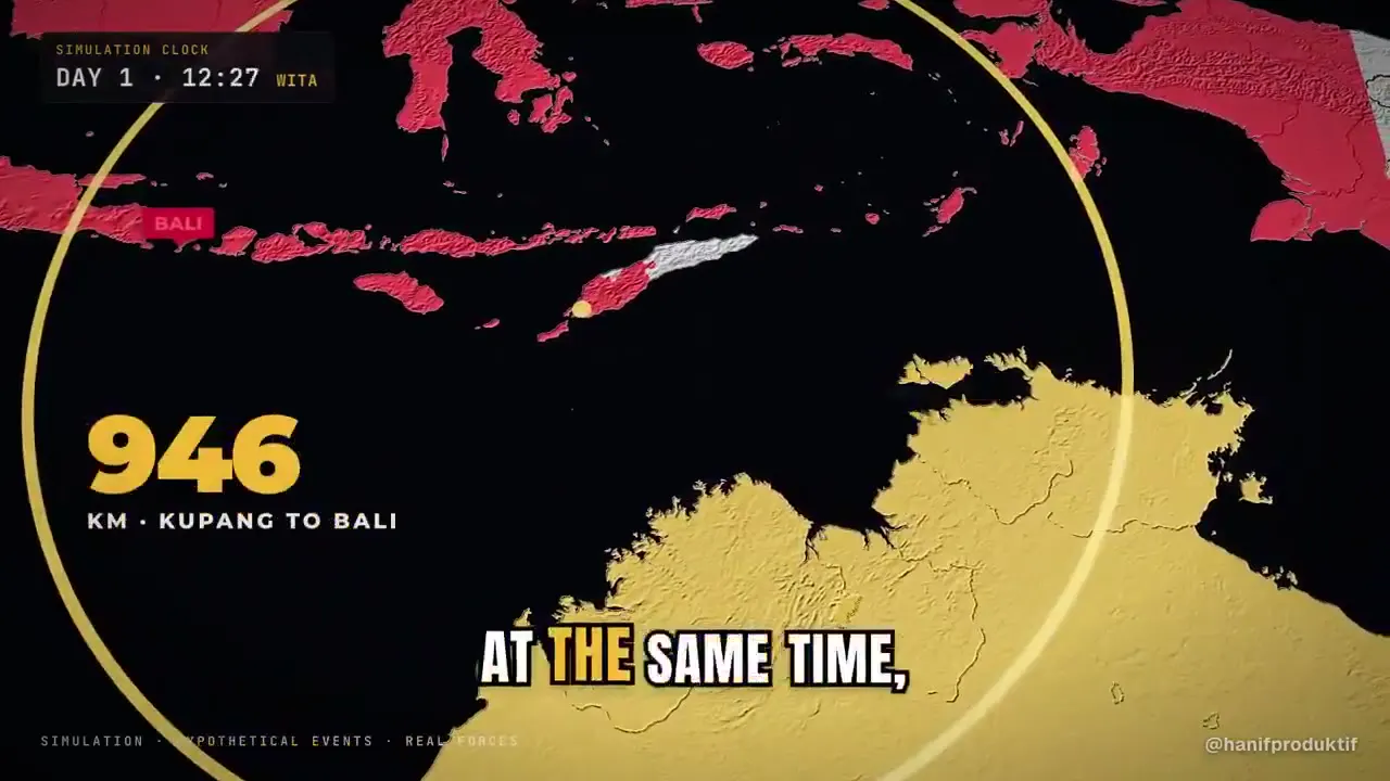
A hypothetical Indonesia–Australia conflict is presented through relief maps, day-and-hour labels, distance comparisons, annotated locations, photographic inserts and a final outcome card.
How it was made
Opus 5.5 · HyperFrames
Source and credit
X · Oct 13, 2026 · 804 likes · 105k views · 50 comments
Made with AI, according to the source
Published instructions: https://x.com/hanifproduktif/status/2109918956358357339
Look notesby Reference
Stylized Indonesia–Australia conflict visualization with island maps, geographic labels, statistics, and occasional image insets.
- Color
- Near-black backgrounds with vivid pink land, pale yellow land, and white text; small red and yellow accents.
- Type
- Bold condensed sans-serif captions, blocky numeric statistics, and compact labels.
- Framing
- Flat map graphics dominate, with labels and route lines overlaid; information cards and occasional photo insets sit above the maps.
- Structure
- Geographic map imagery is paired with time and location tags, captions, data panels, and inset photographs.