Strava run as an animated Instagram story
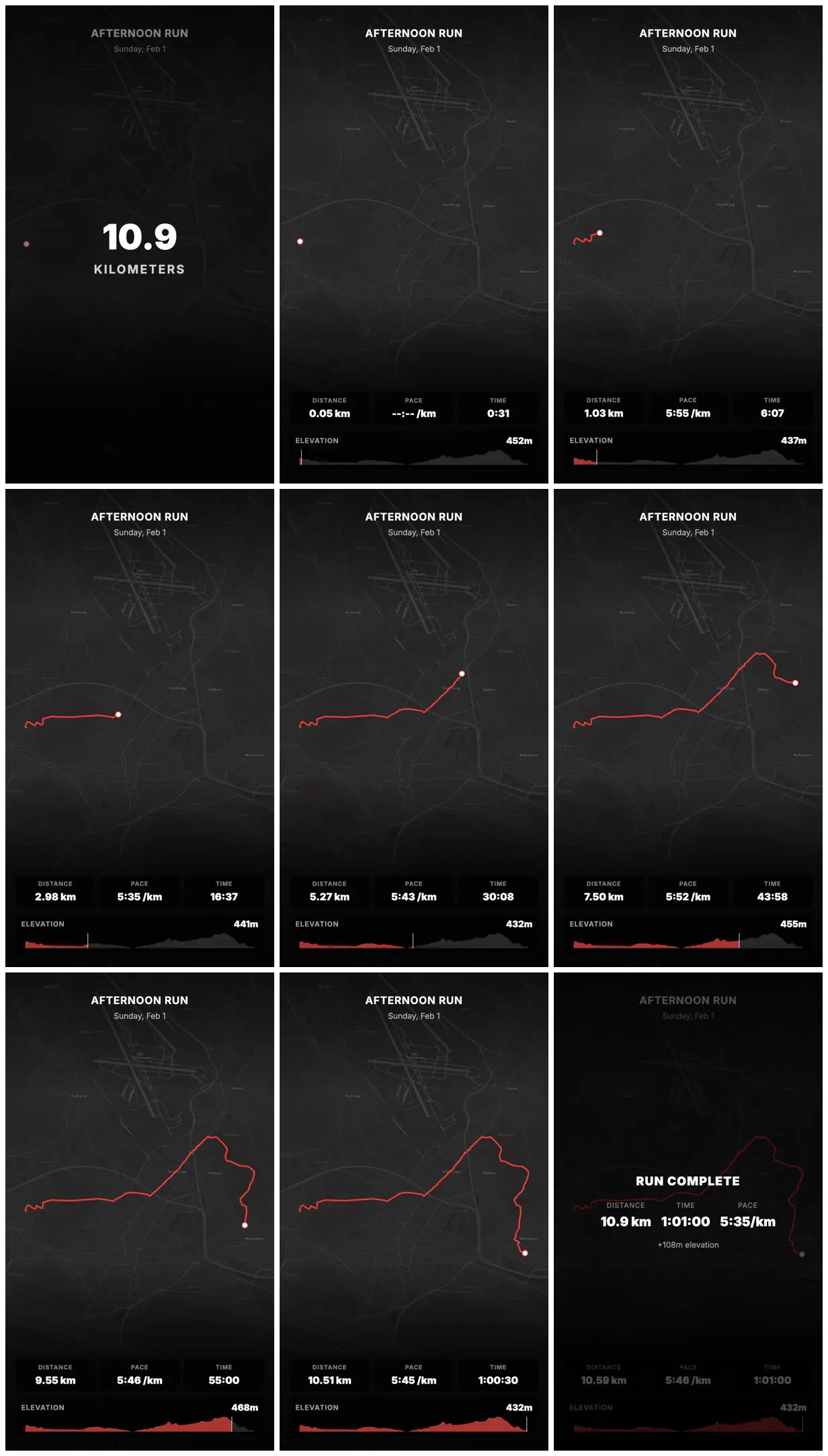
A 16-second vertical story that animates a run from a GPX file: a dark map, the route drawing in, and live metrics sized for a phone. It came from a short Claude Code prompt that asks for "remotion best practices".
[download GPX from strava website]

use remotion best practices. turn my run today into an animated instagram story: ~/Downloads/Afternoon_Run.gpx

show a map, the route and live metrics for my run. use font sizes that will be legible when user watches as a story
Make it yours. Point the path "~/Downloads/Afternoon_Run.gpx" at your own GPX file, and change "animated instagram story" if you want another format.
Make it hereFree runs soon
You'll need
- A GPX file of your run, exported from Strava
- Remotion's agent skills (npx skills add remotion-dev/skills); the prompt's "use remotion best practices" matches their remotion-best-practices skill
How it was made
The first line, "[download GPX from strava website]", is the manual step the creator did before prompting.
Posted Feb 1, 2026 · Remotion Prompt Showcase on Website · 31 likes
Prompt from: remotion.dev Prompt Showcase submission
Look notesby Reference
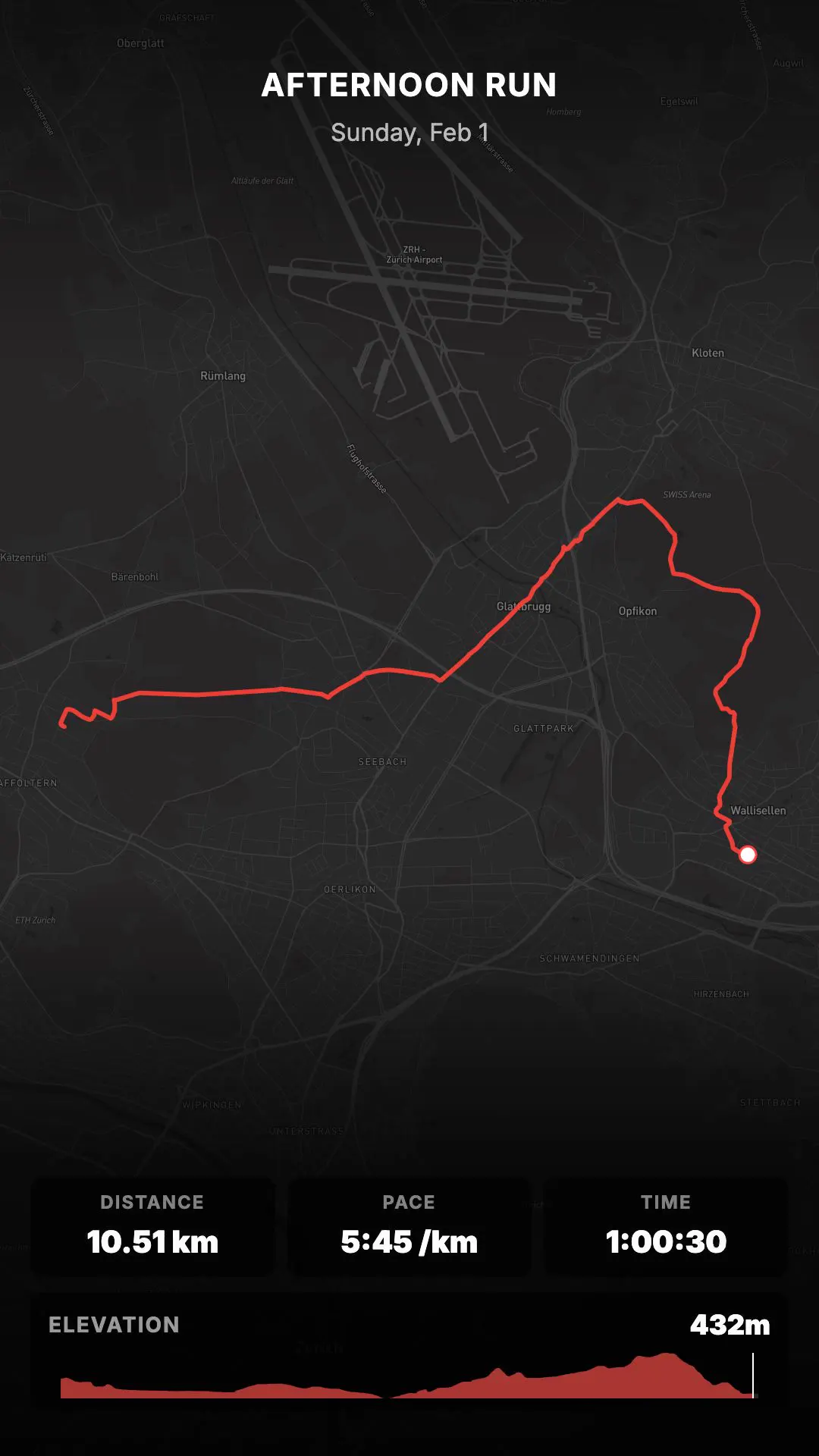
A dark map of the run's area with a red route line drawing across it, a white dot at its head, and live stats for distance, pace, time, and elevation.
- Color
- Charcoal and black map with gray streets, a red route and elevation fill, and white numbers.
- Type
- Bold white sans: an "AFTERNOON RUN / Sunday, Feb 1" header, a large "10.9 KILOMETERS" intro, stat tiles (DISTANCE, PACE, TIME), an ELEVATION strip with the current height, and a RUN COMPLETE summary card.
- Framing
- Vertical 9:16 with the header at top, the map filling the middle, and the stat tiles and elevation profile in the bottom quarter. The summary card sits centered over the dimmed map.
- Structure
- A 10.9 KILOMETERS intro, then the route drawing across the map while distance, pace, and time count up (0.05 km, 1.03 km, 2.98 km, 5.27 km, 7.50 km, 9.55 km, 10.51 km), and a RUN COMPLETE card with 10.9 km, 1:01:00, 5:35/km, and +108m elevation.