use remotion best practices. create a map animation where on each of the 10 biggest airports, you zoom in and rotate around the area by 360 degrees. then you zoom out and fly to the next one. when an airport is visible, show a lower third with the airport name and the passenger numbers. show 3d buildings. from from 10th place to 1st place.
Make it yours. Change "the 10 biggest airports" and what the lower third shows ("the airport name and the passenger numbers") for another ranked list of places. "from from 10th place to 1st place" sets the order; the doubled word is in the original.
The 10 biggest airports as a 3D map tour
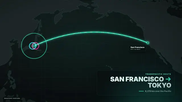
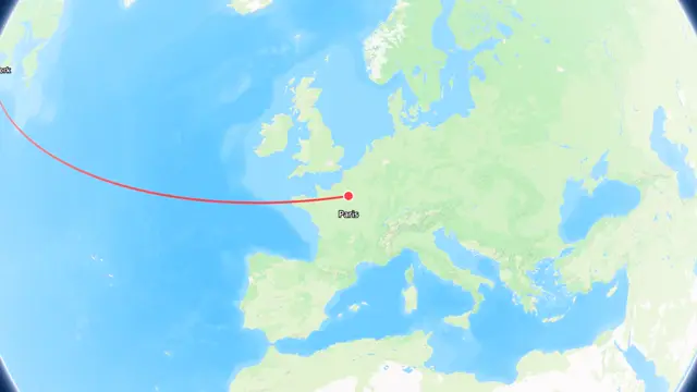
A 60-second map animation that counts down from the 10th to the 1st biggest airport, zooming in and orbiting 360 degrees over 3D buildings at each, with a lower third for the name and passenger numbers. One-shot with Remotion's Maps skill and a Mapbox token.
“compared to a GenAI model like Sora, you now have everything as code and can iterate on it”
You'll need
- A Remotion project
- Remotion Agent Skills, reinstalled to get the Maps skill (npx skills add remotion-dev/skills)
- A Mapbox access token
How it was made
The third post in the creator's thread announcing a Maps skill for Remotion's agent skills, which needs a Mapbox token and a reinstall of the skills. The creator says the keyframes are not perfect, but unlike a video model the result is code you can keep iterating on. The thread doesn't name the agent or the model.
Posted Jan 24, 2026 · X · 55 likes · 4.6k views · 4 comments
Prompt from: Post body, in quotes
Look notesby Reference
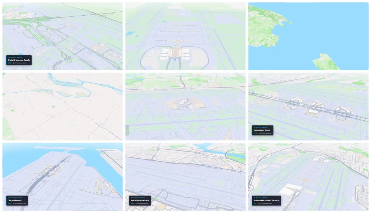
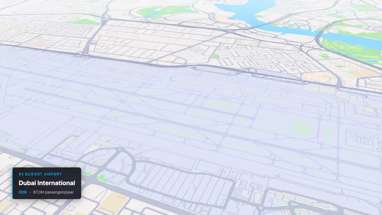
A pale aerial tour of ten airports on a light vector map, tilted over runways and terminals, with a dark lower-third card giving each airport's rank, code, and yearly passengers, from Paris Charles de Gaulle at #10 to Atlanta Hartsfield-Jackson at #1.
- Color
- A light map style of lavender-gray runways and roads, pale green parks, sky-blue water, and off-white land, with a near-black lower third in white and bright blue.
- Type
- A dark rounded card with a blue edge: spaced blue capitals for the rank ("#10 BUSIEST AIRPORT"), the airport name in bold white sans-serif, and the code in blue beside the traffic in gray ("CDG · 67.4M passengers/year").
- Framing
- 16:9 oblique aerial views tilted toward the horizon over runways and terminals, with the card in the bottom-left corner at each airport. Between airports come flatter overhead views of coastline, rivers, and farmland.
- Structure
- Paris Charles de Gaulle at #10, a terminal with parallel runways seen down their length, an overhead coastline and a stretch of farmland and river between stops, another airport's terminals, Dallas/Fort Worth's semicircular terminals at #4 (81.8M), Tokyo Haneda on the water at #3 (87.0M), Dubai International at #2 (87.0M), and Atlanta Hartsfield-Jackson at #1 (104.7M).