California crops by farm field
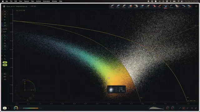
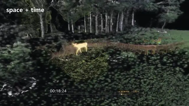
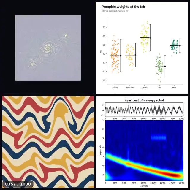
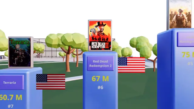
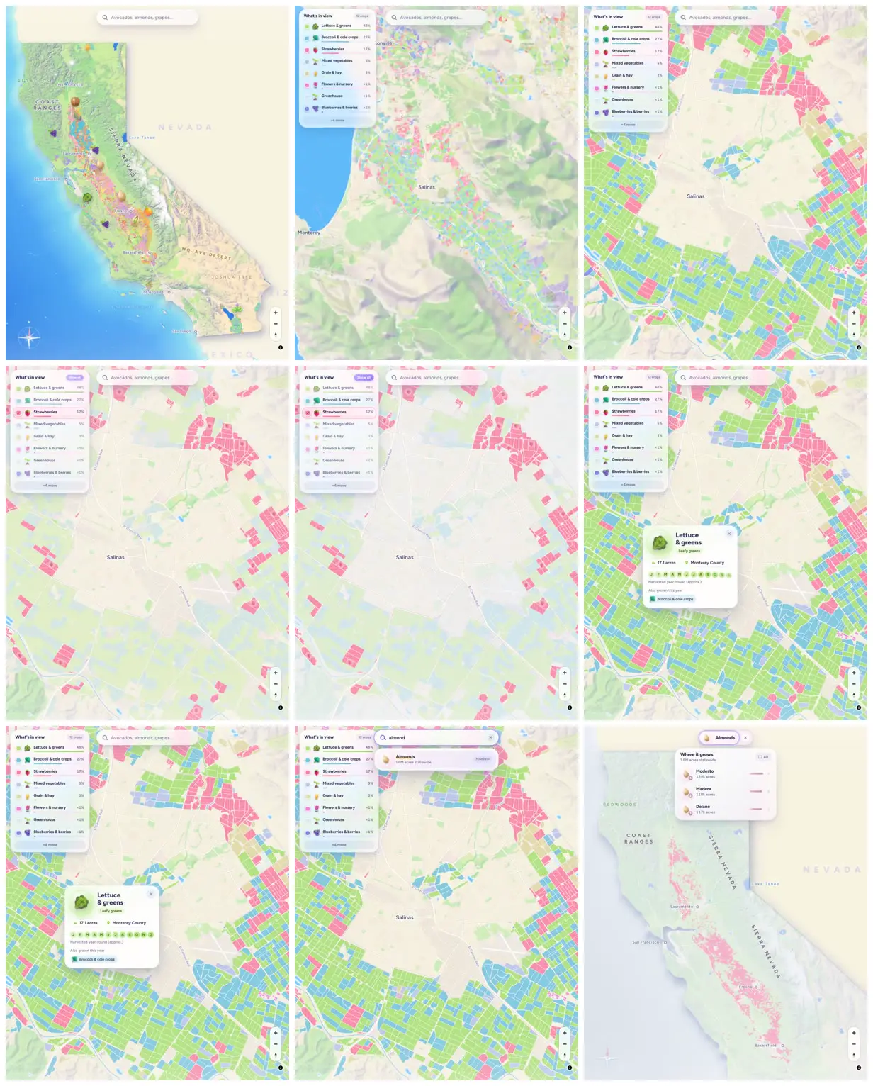
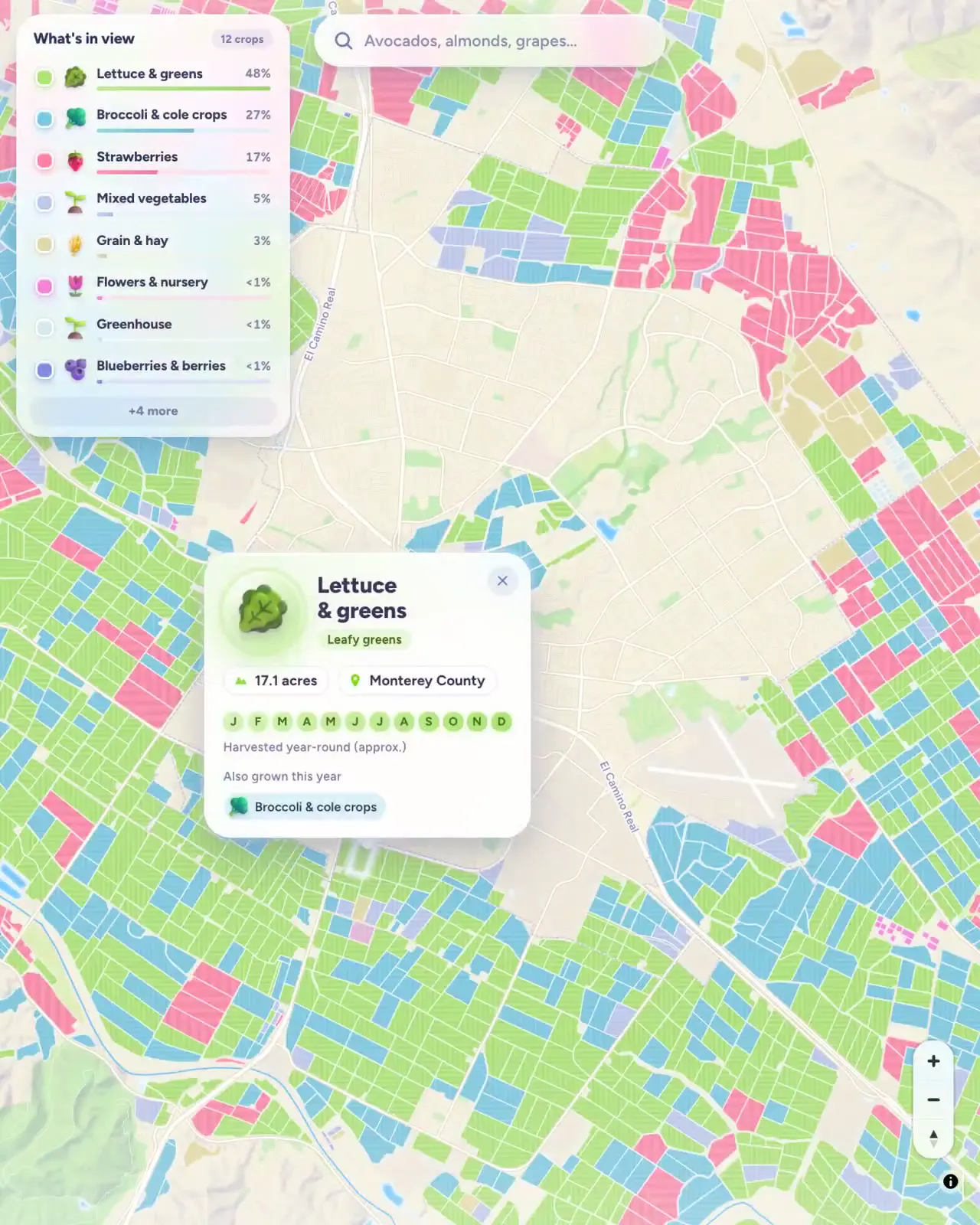
A California crop map pairs pastel field boundaries with crop legends, search results and field detail cards. Statewide and Salinas-area views reveal planting patterns, while an almond filter isolates a crop's geographic footprint.
Adapt this approach to another geographically distributed dataset using real boundaries as the primary visual texture. Assign restrained categorical colors and pair an overview legend with a compact selected-area card. Include both an all-category regional view and a single-category statewide view to make local detail and broad distribution comparable.
No creator prompt published. Reference wrote this brief. Copy for agent includes the brief, visual reference links, and setup guidance.
Source and credit
X · Oct 12, 2026 · 2k likes · 77k views · 115 comments
Authorship not stated by the source
Look notesby Reference
Stylized map of California with colored agricultural parcels and crop information panels.
- Color
- Soft cream and pale green map background, with bright green, blue, pink, and yellow parcel overlays; dark gray text.
- Type
- Clean sans-serif map labels and compact interface text, with simple crop icons.
- Framing
- The map is the main visual, with search and crop-category controls near the top and detail cards overlaid on the map.
- Structure
- A statewide map view and closer field-level views show color-coded parcels, geographic labels, a crop legend with percentages, search suggestions, and crop detail cards.