Adapt this layout to another time-dependent network, such as ferry departures or overnight bus service. Pair a geographic diagram with a compact availability list and one shared time control. Use a pale theme to distinguish routes and a dark theme to emphasize individual nodes, keeping the surrounding interface consistent.
No creator prompt published. Reference wrote this brief. Copy for agent includes the brief, visual reference links, and setup guidance.
Tokyo last-train network map
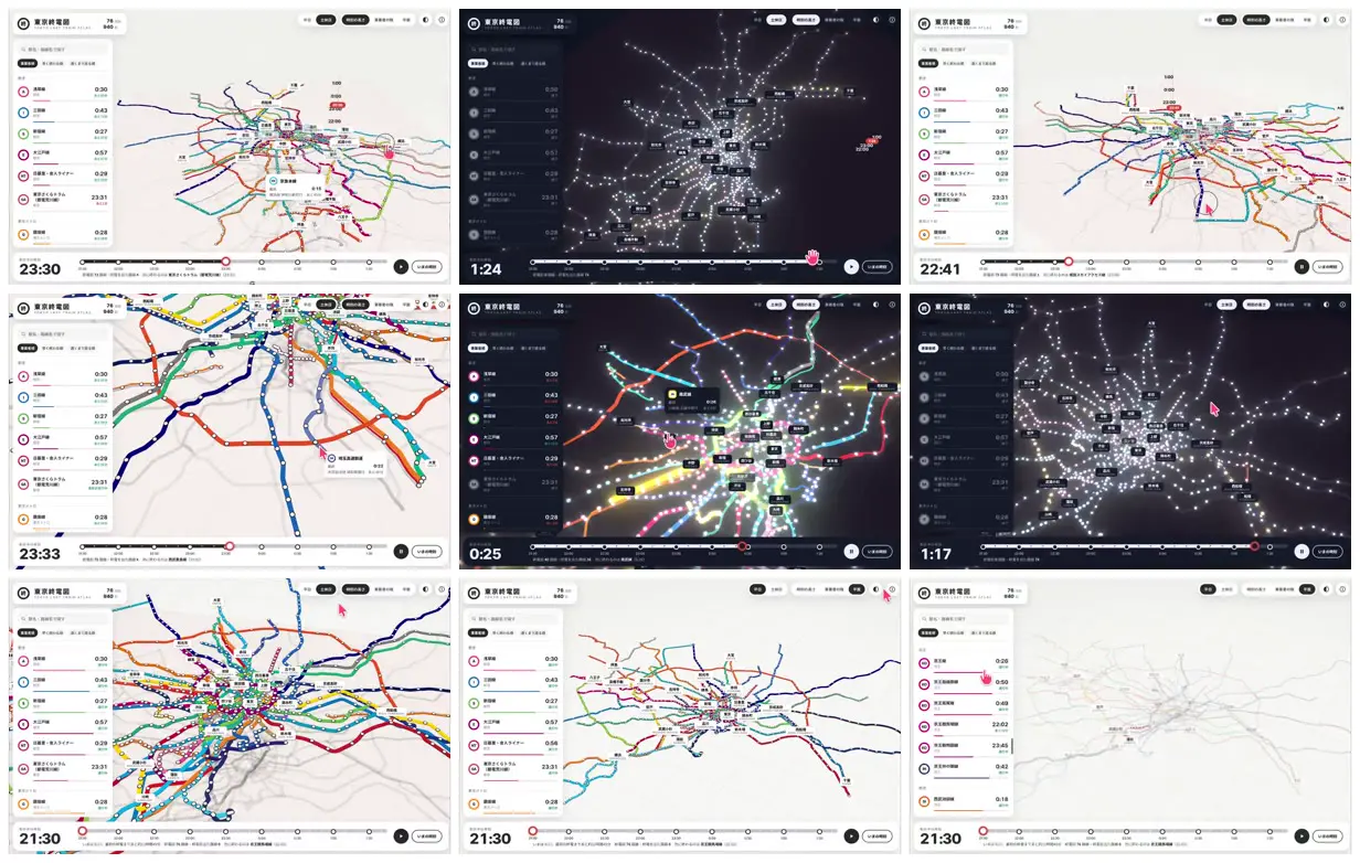
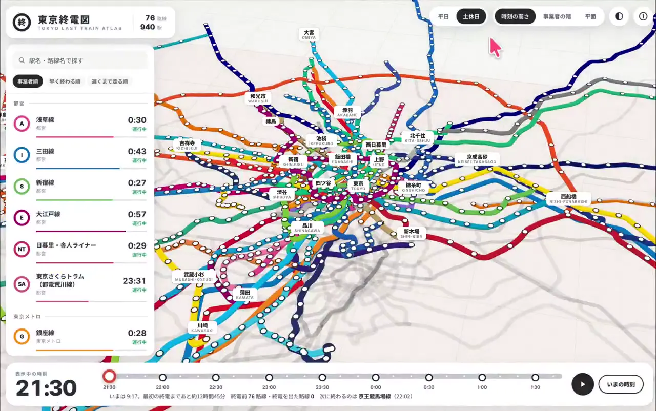
A Tokyo rail map pairs multicolored routes and station markers with last-train listings and a time slider. Light views emphasize route geography; dark views present the network as a constellation of bright station dots.
How it was made
Opus 5.5
Source and credit
X · Sep 26, 2026 · 4.3k likes · 899k views · 71 comments
Made with AI, according to the source
Look notesby Reference
A Japanese-language transit map app showing Tokyo rail lines, stations, times, and route information.
- Color
- White and pale gray panels with multicolored transit lines; some views use a dark navy background with glowing white station dots.
- Type
- Compact sans-serif interface text, mostly Japanese, with bold digital-style time readouts.
- Framing
- A large rail map occupies the main area, with a narrow information sidebar on the left and controls and a time scale along the bottom.
- Structure
- Station markers and small labels sit along branching, color-coded routes. The sidebar contains stacked route or service entries with colored indicators and times; the top bar holds map controls.