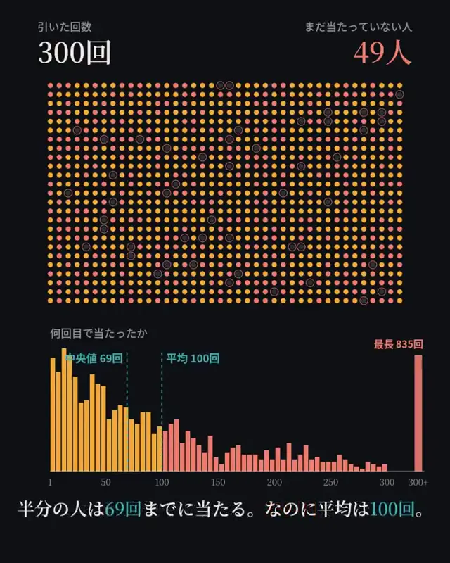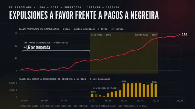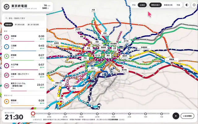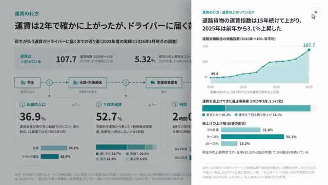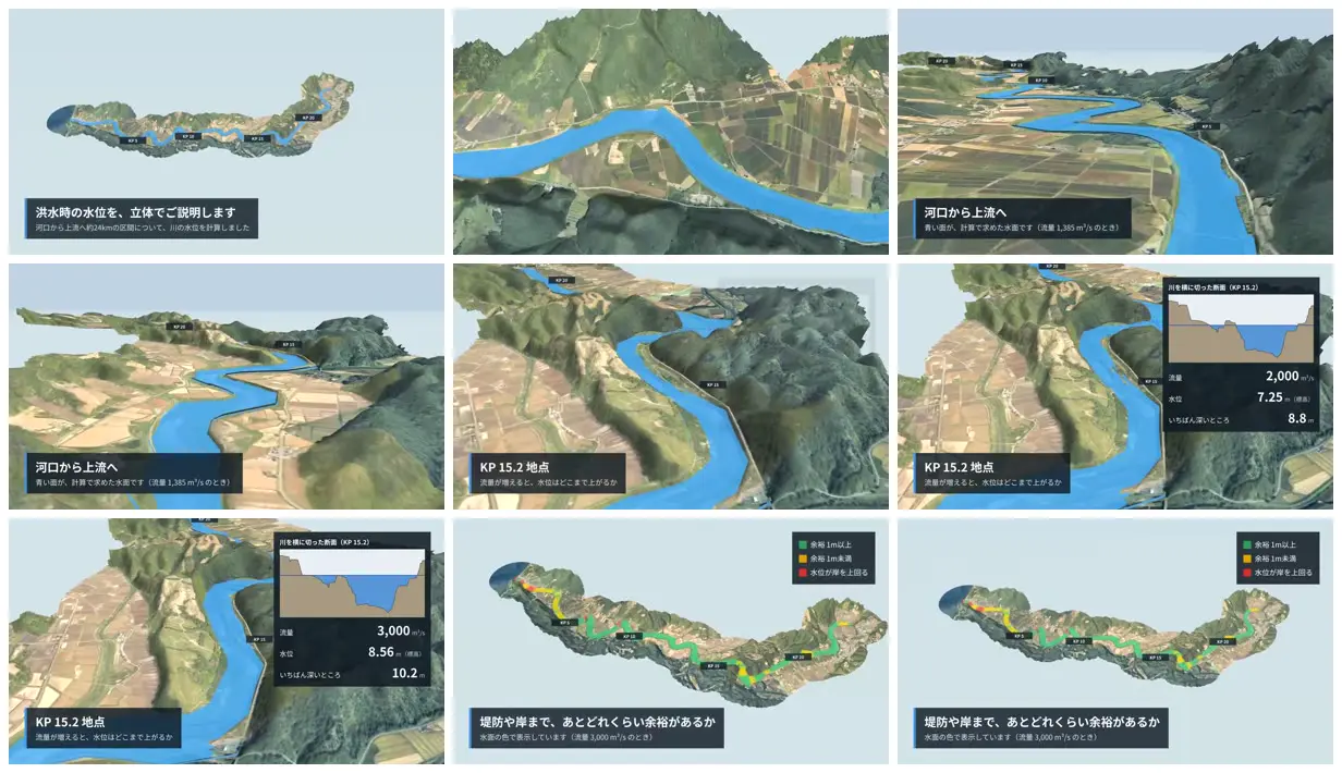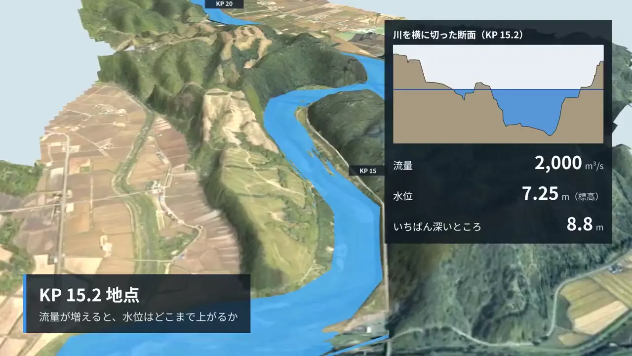
Use aerial-textured terrain to place an engineering quantity in recognizable geographic context. Pair a selected location with a cross-section inset and a few large measurements, then show the full corridor with a simple categorical risk palette. Keep annotation panels dark and compact so they remain readable against detailed imagery.
No creator prompt published. Reference wrote this brief. Copy for agent includes the brief, visual reference links, and setup guidance.
River flood levels on 3D terrain
An aerial-textured river model pairs blue water surfaces with cross-section diagrams and flow-dependent measurements, then presents a green-yellow-red overview of remaining clearance along the river.
You'll need
- Install the creator-stated skill or plugin: Python.
How it was made
Claude Opus 5.5 · Python
Source and credit
X · Oct 4, 2026 · 960 likes · 49k views · 20 comments
Made with AI, according to the source
Look notesby Reference
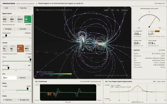
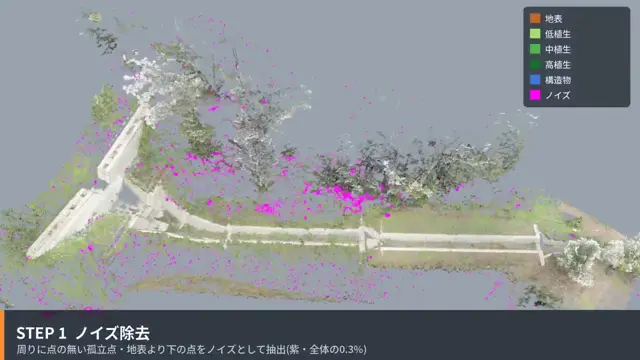
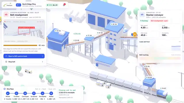
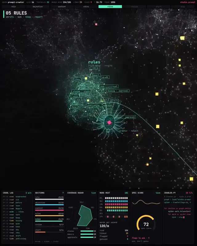
Stylized river-flow dashboard featuring winding blue waterways across 3D terrain, with flow-condition overlays and measurement panels.
- Color
- Bright blue water, muted greens and olive terrain, pale tan and green fields, and dark navy interface panels with white text.
- Type
- Small, clean sans-serif interface text; Japanese headings and labels, KP markers, numeric measurements, and compact chart legends.
- Framing
- Oblique terrain maps center on the river and surrounding fields. Dark callout boxes, map markers, and, in some views, a data panel with a river profile chart and numeric readings sit over the maps.
- Structure
- The interface presents river maps at different locations and scales, alongside labeled monitoring points, flow-status colors, brief explanatory captions, and detailed calculation readouts.